Registration for the 2017 ESRI User Conference is now open! Register now and get the best hotel rates!


Registration for the 2017 ESRI User Conference is now open! Register now and get the best hotel rates!
The Library of Congress signed a memorandum of understanding with the Digital Public Library of America to become a Content Hub and will ultimately share a significant portion of its rich digital resources with DPLA’s database of digital content records.
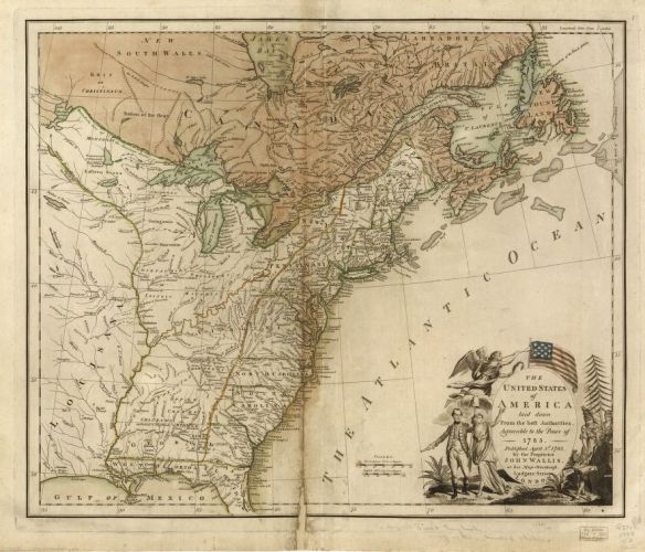
The first batch of records will include 5,000 items from three major Library of Congress map collections: the Revolutionary War, Civil War, and panoramic maps.
PostGIS 2.2.4 was recently released. It is a patch release. For all the details and to download, click below.
![]()
Also version 2.3.1 was just released. Click here for more details.
The U.S. Environmental Protection Agency (U.S. EPA) has published a new report, Climate Change Indicators in the United States, 2016 (Fourth Edition), which includes seven new indicators and a feature on climate and health. EPA partners with more than 40 data contributors from various government agencies, academic institutions, and other organizations to compile a key set of indicators related to the causes and effects of climate change.

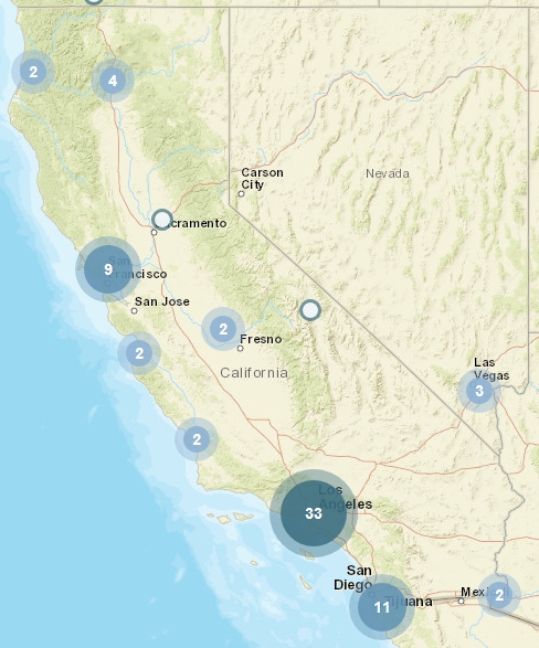
Check out these maps and article about 15 fast food chains that dominate in the US.
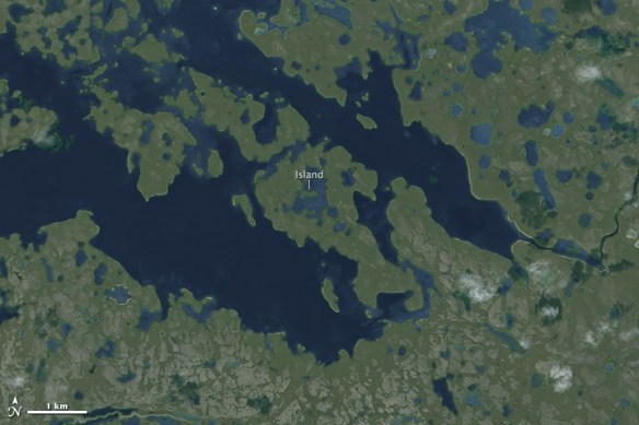
An island in a lake on and island in a lake on an island … the Canadian Arctic Archipelago is home to the world’s largest third order island. Check it out!
Here is an interesting article about using a drawing option in ArcMap called Match To Symbols. By naming a feature attribute with the same symbol name that is in a style, you can quickly symbolize them for feature categories. Click below to read.

This is just like when us old school GIS types used a field to store a symbol number to symbolize our points, lines, and polygons!
Here is an interesting article from the UK about how map reading seems to be a lost art. People have stopped being able to read maps in the age of automatic mapping … people are instead increasingly read by maps! Map reading should be a basic life skill and maybe we should start teaching it in schools again.

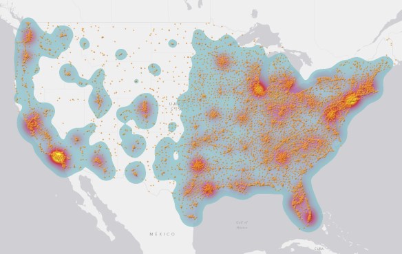
Today is GIS Day! If you are looking for a place to check out, may I suggest the GIS Day celebration at Los Angeles County. They put on a big show and have many booths and presentations.
You can find other places that are celebrating GIS Day by checking out the GIS Day map below.
Happy GIS Day!
ESRI will be holding ArcGIS User Seminars where you will learn how to be more effective with ArcGIS and get a close look at what’s new in version 10.5. You’ll return to the office with practical tips and skills to use right away, including:
Register today to save your seat for the ArcGIS User Seminar.
