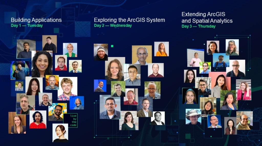
If you missed the 2022 ESRI Developer Summit back in March, check out this recap posting. It includes videos about the new animated flow renderer, ArcGIS Maps SDK for game engines, knowledge graphs in ArcGIS Pro, using CAD and BIM in ArcGIS, automating deployments, spatial statistics, and other topics.
In collaboration with the US Department of Labor, the National Geospatial Technology Center is updating the Geospatial Technology Competency Model (GTCM) and is seeking input. Your input is hugely valuable in helping to define which professional and technical competencies are crucial to a successful GIS employee. For more information, click here.
The Climate Prediction Center at NOAA has a site for current and future drought estimations. Check out their Drought Monitor interactive map and Monthly Drought Outlook and Seasonal Drought Outlook maps. There are other tools too.
The US Census Bureau has a new data tool, called My Community Explorer, that allows users to view the demographics of their individual communities. The interactive dashboard offers profiles of all US counties based on the data collected from the census survey. Beginning with a state, users can filter by demographic data including race and ethnic makeup, income and economic statistics, and industry and business profiles. Check it out!
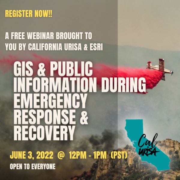
The California Chapter of the Urban Regional Information Systems Association (CalURISA) is pleased to host the ESRI presented webinar: Public Information During Emergency Response and Recovery. This webinar will demonstrate the new Public Information Template for ArcGIS Experience Builder, designed to quickly deploy vital location information to the public during emergencies. The template streamlines the creation of a 3-in-1 web map application for use on devices with small, medium, and large screens. Chad Miller, GIS Analyst with the County of Monterey will host the session, with key presenters being Stephanie Baker and Jason Latoski, Solutions Engineer for ESRI’s Local Government Team, along with guest presentations from Kevin Lacefield of Sonoma County and Matt Lamborn of Napa County.
For more information and to register, click below.
CSULB still has room for those of you that are looking to get an MS in GIS in the Fall. Applications will be accepted until June 1st for domestic applicants and April 1st for international students. More info here.
CGIA has openings for its Board of Directors and for the Board Officer – Vice Chair position. These are important roles and leadership opportunities for the California GIS community of practice. They are two-year positions and the term of service will begin in July 2022. Self nominations are welcome. Nominations are due no later than close of business May 20, 2022.
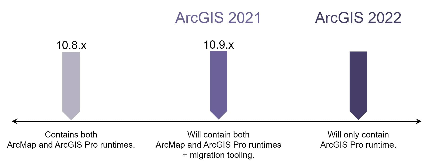
ArcGIS Enterprise 10.9.1, part of the ArcGIS 2021 releases, will be the last release to support the publishing and consumption of services from ArcMap.
If you are an ArcGIS Enterprise administrator, click below to read more. The article was published last year.
Check out this interactive map and article about the total EV charging stations in the US. If we will be forced to buy electric vehicles soon, they better up their charging stations! While California has 13,658 charging stations, Alaska only has 40. Check it out!
As a side note, according the NACS, there are more than 145,000 fueling stations across the United States. And as you know, they can fuel multiple vehicles at one time vs. just 1 EV charging station per vehicle.
2022 Spring Technical Session Hosted by Pacific Southwest Region ASPRS. May 18, 2022 at 6pm in Concord, CA.
Please join colleagues, students and peers in the Remote Sensing profession for an evening of insightful presentations, thoughtful discussion and snacks!
Featured presentations include “Airborne Thermography for Bridge Decks”, “Statewide Ground Surface Subsidence: Precise Measurement via Remote Sensing Survey – 2015 through 2024”, and “Mapping Accuracy Assessment of UAS Platforms”.