Gotta love those robotic birds. The FAA predicted in 2012 that within 20 years time there could be as many as 30,000 drones flying over the US soil alone. Are you prepared to identify them? Get your survival guide today!


Gotta love those robotic birds. The FAA predicted in 2012 that within 20 years time there could be as many as 30,000 drones flying over the US soil alone. Are you prepared to identify them? Get your survival guide today!
Interesting article about thieves that steal rare books and maps from libraries, like this guy:
William Jacques, an oil-company accountant dubbed the “Tome Raider” by the British press, was jailed for stealing rare books by Newton, Thomas Paine and others from Cambridge University and other libraries in the 1990s. When he was released, he promptly stole books from the Royal Horticultural Society. Many books remain missing, and he is now banned from all U.K. libraries.
Read more here.
Over 30 years ago, a man worked on this maze for over 7 years and no one knew about it until now. It is probably unsolvable. Check it out.

Apparently you can purchase a copy, though it is in high demand and on backorder: http://shop.spoon-tamago.com/collections/new/products/papas-maze
Here’s another one I found for your SoCalGIS info fix … and yes I am catching up from vacation! 🙂 -mike
In 1973, the United States Army produced training film TF5-4523 entitled, “The Mapmaking Process” which it described as explaining the “theory of mapmaking, and illustrates the methods and techniques used to produce maps; planning, surveying, compiling, and reproduction.” Retrieved from the National Archives, the training video is available in three parts for viewing.
Read more and watch the video posted on GIS Lounge:

Just in case you have not seen it all yet in 2013, The Lake Mosters of America map!

This link is from Bonnie at Manhattan Beach. Here are 27 incredible views that you would only see if you were a bird. Click on the image below.

As 2013 nears it’s end, I wanted to wish everyone a Merry Christmas and Happy New Year before I go on vacation! For your viewing pleasure I included this cool 1950’s Christmas map which shows Santa Claus visiting places all over the world.

Enjoy! -mike (Michael Carson, GIS Manager, City of Burbank)
PS – Let me know if you want to host our next SoCalGIS meeting in the new year. Just contact me at mcarson@burbankca.gov .
In 1785 Congress enacted a law stating that the land in the new States were to be surveyed by a grid system consisting of townships 6 miles square and the said townships were to start at a principal meridian and its base line. These initial points were established as needed across the country.
On November 7th, 1852, Colonel Henry Washington, Deputy Surveyor under contract with the United States Surveyor General of California, completed a four day hike with 12 men to a point he designated and monumented to be the Initial Point for the San Bernardino Pincipal Meridian. Nestled at an elevation of 10,300 feet just west of what is now known as Mount San Bernardino, this Initial Point is both the highest and hardest to reach in the entire country. According to surveyor C. Albert White, it is also the only one that has not been altered over time by man. And, to add to its mystique, this point has one other unusual characteristic feature that makes it more unique – it is not alone.
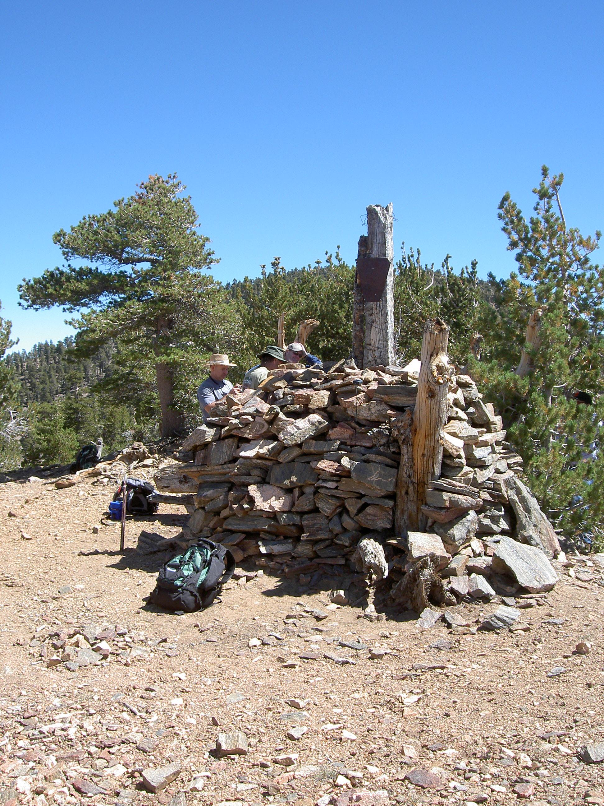
The Principal Meridian Project was started by a group of people devoted to identifying all the base line markers in the country. The group finds the search for meridian markers as interesting as geographers do. Click on the map below to visit their page and learn more about our Initial Point (or points!) in the San Bernardino Mountains.


GIS Day is tomorrow, so post a comment here if you are hosting a GIS Day at your organization. Have fun and show off your maps!
I just had to add this one today as well … too funny! Click below for more.

