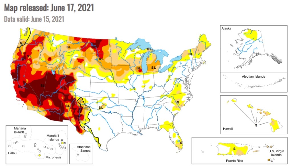
The Living Atlas US Vessel Traffic application is a new and fun tool that lets you explore the paths of vessels in and around US waters, look for patterns and trends by time, vessel type, and place, and it provides a simple and efficient way to download manageable-sized, area-specific, excerpts. Check it out!
ArcGIS Desktop (ArcMap) version 10.8.1 is the last version for this GIS software that we have been using for many years. There will not be a 10.9 version. You are encouraged by ESRI to move on to ArcGIS Pro.
ArcMap 10.8.1 will be supported until March 1, 2026. Most of you probably knew this already, but just in case click here for more info.
GIS Courses are scheduled online for this Summer at Rio Hondo College with several optional field exercises. During this time, classes at Rio Hondo College are online for Summer 2021 and tentatively returning to on-campus and Hybrid Fall 2021. We will have optional local field exercises during July to provide hands-on opportunity using drones for survey mapping workflow and processing. For more information visit https://gisteacher.wixsite.com/riohondo/summer2021
Introduction to GIS (GIS 120) 4 units CRN 50133 (Dates 06/07-08/13)
Applied Geographic Info Systems (GIS 130) 4 units CRN 52362 (Dates 06/21-08/13). Note, if you have not attended GIS classes at Rio Hondo before, please contact wroberts@riohondo.edu for course waiver to register for the class (introduction to GIS is a prerequisite).
There will be a drone demo by Wingtra on Friday June 11th, open to anyone. If you have not seen the Wingtra in action, certainly recommend this opportunity.
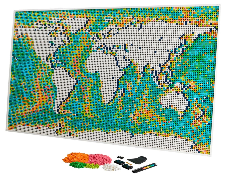
If you like maps and LEGOs, then this is for you! This new addition to the LEGO Art collection contains the most pieces ever included in a set in LEGO’s history … 11,695 pieces! The world map measures 25.5 inches high by 40.5 inches wide when completed. The map is made up of 40 interconnecting base plates which are divided into three sections for the build that can be arranged in one of three ways, allowing you to place your favorite part of the world in the center of the map.
And check this out, there are customizable brick-built push pins that you can use to mark out destinations already visited or highlight those still on your bucket list! All of this for only $249.99! Available June 1st. Check it out!
Check out this interesting presentation by Yao-Yi Chiang, Associate Research Professor at the Spatial Science Institute at USC, about using machines to read historical maps and process printed text.
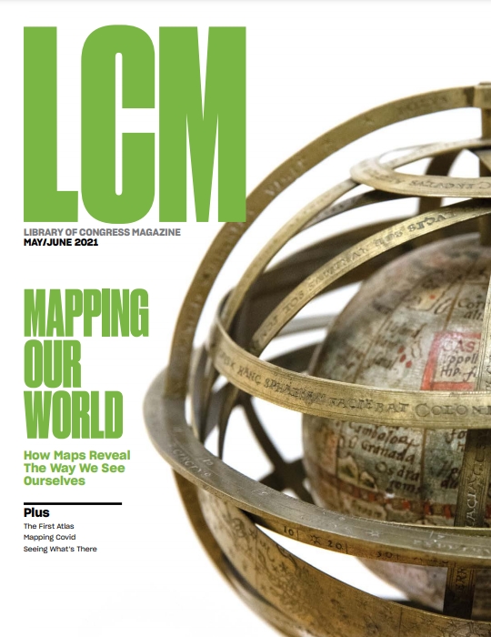
Throughout history, cartography has revealed the way humans perceive themselves. Click below to check out the May/June 2021 edition of Library of Congress Magazine!