NASA’s Earth Observing System Data and Information System (EOSDIS) has some current images of the Springs Fire.
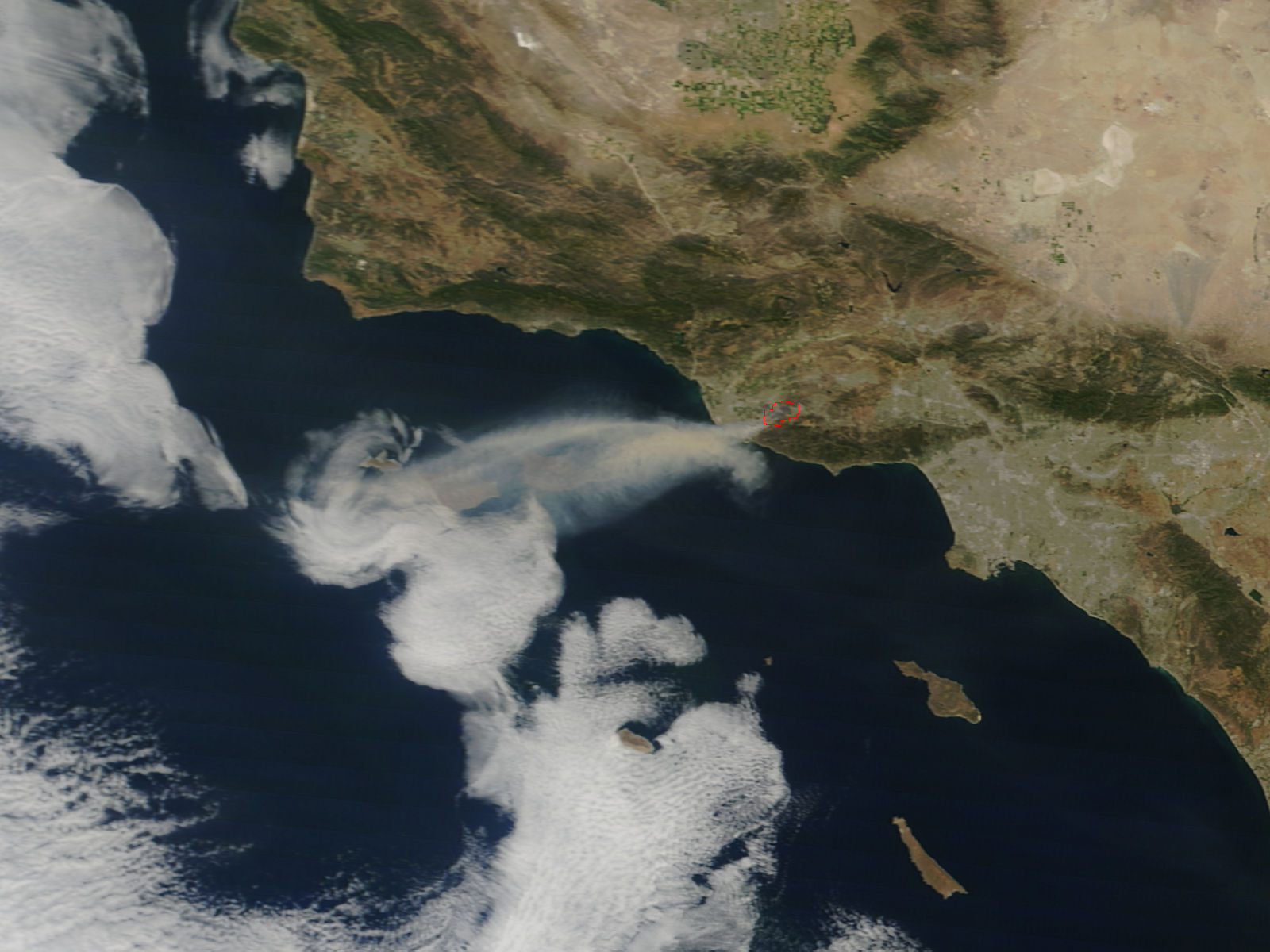
NASA’s Earth Observing System Data and Information System (EOSDIS) has some current images of the Springs Fire.
Android and iPhone users can now use their mobile devices as digital topo maps, leveraging USGS maps together with the power of GPS to zoom in on their precise location while hiking, biking, running, or any other activity that benefits from precision navigation.
The type of data that are available includes USGS imagery and topographic maps from The National Map, as well as road and contour layers. For more info, visit http://www.usgs.gov/newsroom/article.asp?ID=3580 .
