
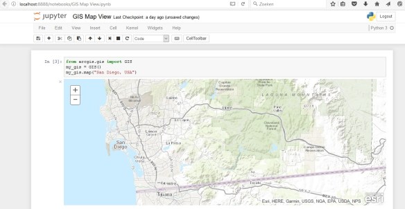
ArcGIS API for Python provides GIS users with a Python API for their Web GIS (Online, Portal, or Enterprise in the cloud). It provides simple and efficient tools for GIS users sophisticated vector and raster analysis, geocoding, map making, routing and directions, as well as for organizing and managing a GIS with users, groups and information items.
In addition to working with your own data, the library enables access to ready to use maps and curated geographic data from Esri and other authoritative sources. It also integrates well with the scientific Python ecosystem and includes rich support for Pandas and Jupyter notebook.
Still trying to wrap your head around what this is all about? Watch this video from the 2017 ESRI User Conference.

And here is a write-up of first impressions:
Is ESRI starting to take the G out of GIS? Anyone can do this now, just push some buttons or program it? Are my days as a GIS professional numbered? Time will tell.

Days numbered? Nope! I first saw this at the 2016 UC. Cool stuff but of course work got in my way and I didn’t do much with it. As for replacing the GIS Analyst, no way. Just being able to easily make maps and Python stuff around doesn’t guarantee that the data is valid or means anything. I come from the IT side and while I’ve learned a lot of GIS over the year, I still need the specialists. And I’m sure you’ve seen maps made by non-cartographers… I’m dealing with that now and the best way to fix those problems, have a cartographer remake the map! Just pay attention to their symbology so you’re not hogging the pipe.
I know where you coming from and at times it can seem like Esri is making it so easy that who needs experts. But then I realize, it just frees me up from doing a lot of the more mundane work so I can concentrate on the more technical things that need doing.
Great points Paul! -mike