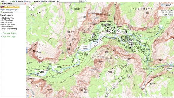
If you need to plot out a hiking route, try CalTopo. CalTopo allows you to print USGS topo maps using the 1:24000 USGS scale. You can also measure the length of your hikes and compute elevation profiles. Check it out!

If you need to plot out a hiking route, try CalTopo. CalTopo allows you to print USGS topo maps using the 1:24000 USGS scale. You can also measure the length of your hikes and compute elevation profiles. Check it out!
