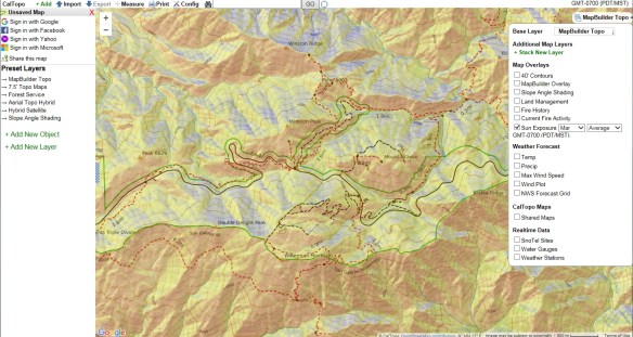
CalTopo is a handy tool for hikers and those that like the great outdoors. Besides having the USGS topos displayed as a background, it has been enhanced over last year so you can also overlay layers like slope shading, current fire activity and fire history, average sun exposure for a certain date and time, weather (temperature, precipitation, wind speed, and forecasts), and real time data (snow, water gauges, and weather stations), and other stuff! Print out your map too and head for the hills! Check it out.