
At the end of September 2017, the USGS discontinued service to the previous versions of the National Map viewer application. This was done to move toward frameworks that support HTML5 web environments, improve mobile access, add GIS capabilities, and minimize having to maintain custom viewer code.
The National Map Advanced Viewer application is now an ArcGIS Online viewer for public use. It was built using ArcGIS Online Web AppBuilder. Click below and give it a spin!
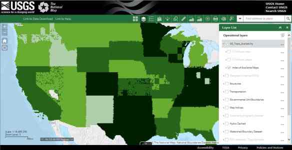
The help doc for the new viewer can be found here.
Note that the USGS already has a separate application focused on data download and that download functionality is not part of the new viewer application at this time.
