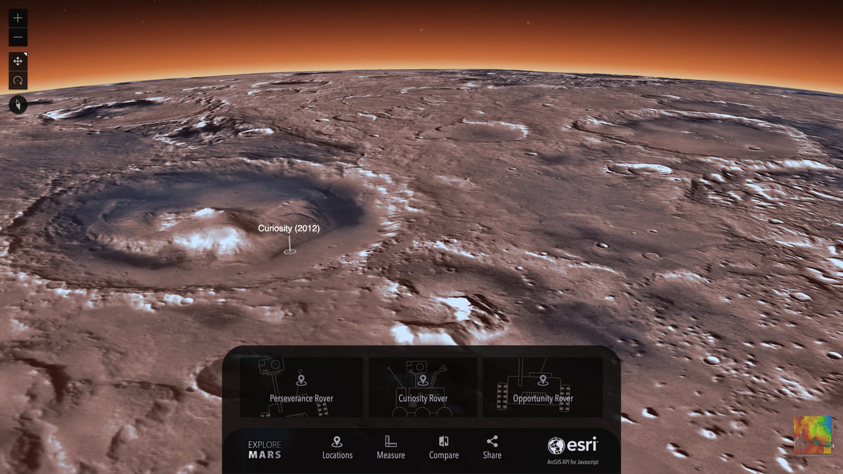
Check out this ESRI blog post about adapting planetary coordinate systems to then view in a 3D globe application like for Mars.

Check out this ESRI blog post about adapting planetary coordinate systems to then view in a 3D globe application like for Mars.
