
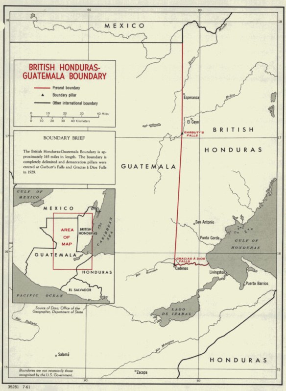
Florida State University has placed the US State Department’s International Boundary Studies online. They are really useful for getting a high-level description of the history and delimitation of international boundaries around the world. Most often the studies will not have any maps, but the text will have a description of the boundaries. Check it out!

I am a Masters Student of the Dept.of Geography and Geo-Information Sciences, School of Environment, University of Venda. I wish to request your kind assistance with any meaningful information that will be of help to my studies especially satellite imagery of my research study area. I’m considering the Research Topic: Application of GIS and RS in Land Use Planning in Mopani District Municipality, Limpopo Province, South Africa.
Basically, I have little or no resources to strive on with my work, so I’m soliciting for any useful information that might be of help in any way.
Kind Regards,
tolk2king@gmail.com