This ArcGIS Online web map shows imagery for the planet that is updated on a daily basis. It features the NASA MODIS imagery True Color band composition (Bands 1 4 3 | Red, Green, Blue) which most accurately shows how we see the earth’s surface with our own eyes.
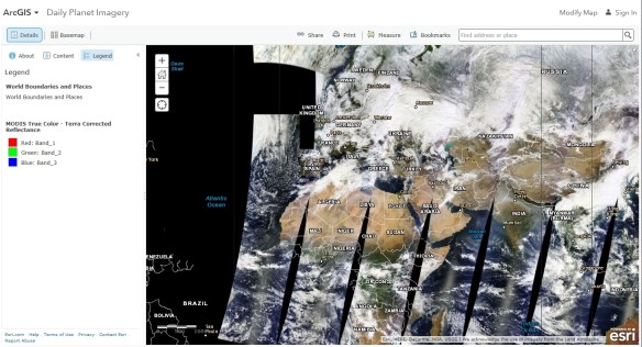
The image service supporting this map is time enabled, but time has been disabled on this image layer so that the most recent imagery displays by default. If you would like to view imagery over time, you can update the layer properties to enable time animation and configure time settings. The results can be saved in a new web map to use later or share with others. More about the MODIS imagery image service here.
