
In 1785 Congress enacted a law stating that the land in the new States were to be surveyed by a grid system consisting of townships 6 miles square and the said townships were to start at a principal meridian and its base line. These initial points were established as needed across the country.
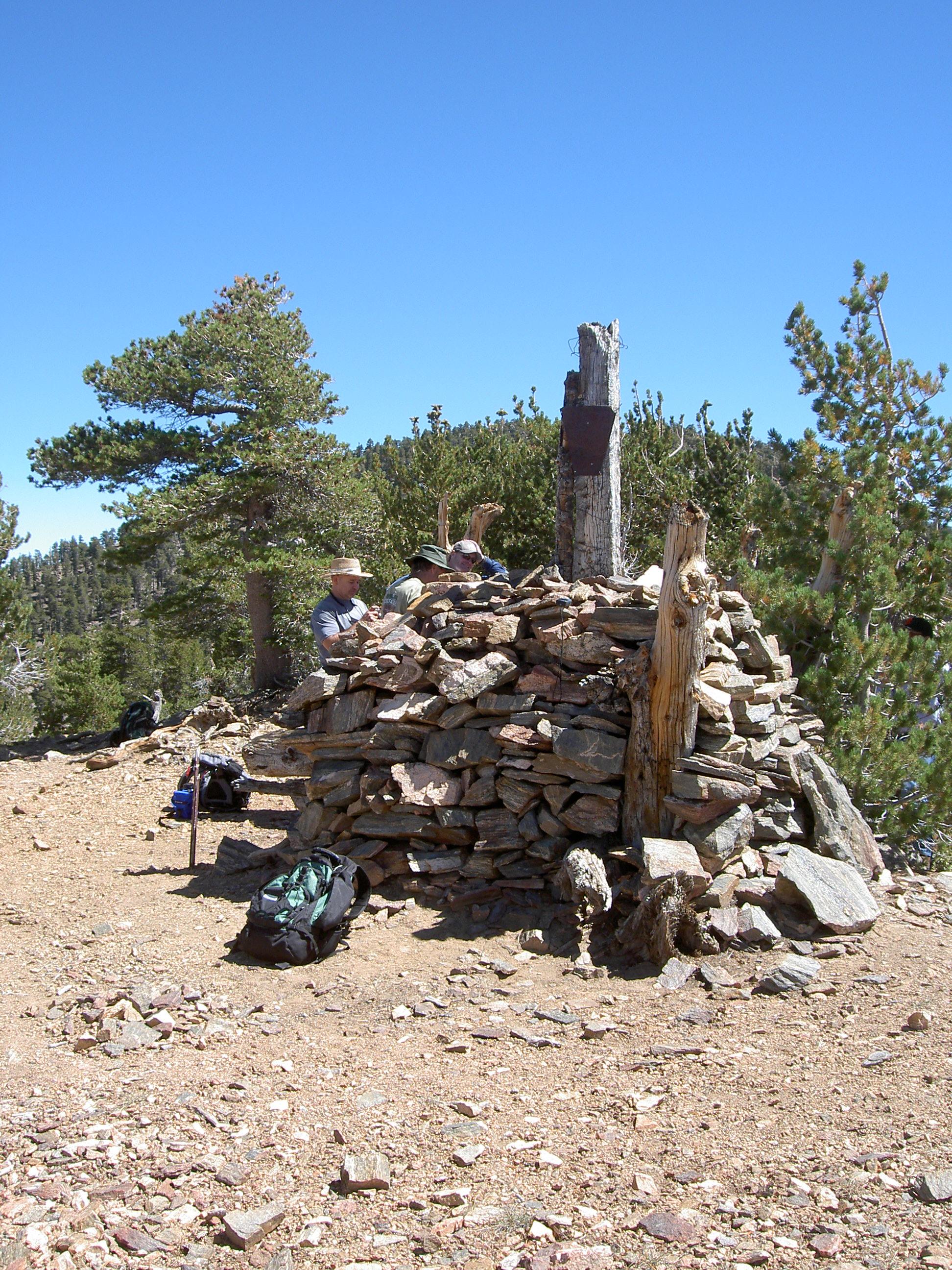
On November 7th, 1852, Colonel Henry Washington, Deputy Surveyor under contract with the United States Surveyor General of California, completed a four day hike with 12 men to a point he designated and monumented to be the Initial Point for the San Bernardino Pincipal Meridian. Nestled at an elevation of 10,300 feet just west of what is now known as Mount San Bernardino, this Initial Point is both the highest and hardest to reach in the entire country. According to surveyor C. Albert White, it is also the only one that has not been altered over time by man. And, to add to its mystique, this point has one other unusual characteristic feature that makes it more unique – it is not alone.
The Principal Meridian Project was started by a group of people devoted to identifying all the base line markers in the country. The group finds the search for meridian markers as interesting as geographers do. Click on the map below to visit their page and learn more about our Initial Point (or points!) in the San Bernardino Mountains.

