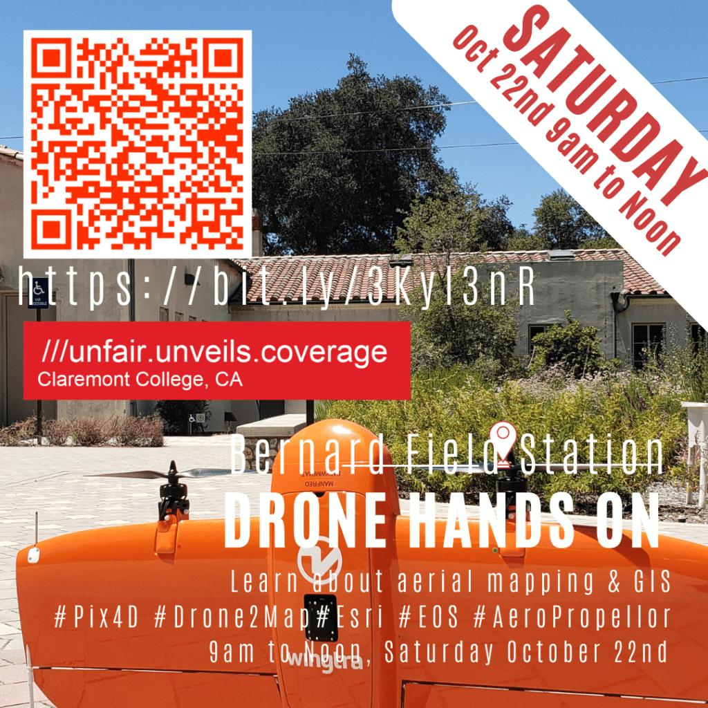
Free GIS Field Applications using UAS on Saturday Oct 22, 9am to Noon at the Robert Redford Sustainability Center / Bernard Field Station in Claremont. We’ll be covering aerial survey mapping workflow, applications for GIS, sharing resources for obtaining the FAA107 to commercially use sUAV and hands on drone use.
For more information, visit https://bit.ly/3Kyl3nR